The South Kalmiopsis is an unprotected roadless area south of the Kalmiopsis Wilderness in Oregon. It contains three beautiful streams the U.S. Forest Service has found eligible to be added to the Wild and Scenic River System—Baldface Creek, Rough and Ready Creek and Josephine/Canyon Creeks. In 2004, the Secretary of Agriculture recommended that the watersheds of Baldface Creek and the North and South Forks of Rough and Ready Creek and two smaller parts of the South Kalmiopsis be added to the adjacent Kalmiopsis Wilderness.
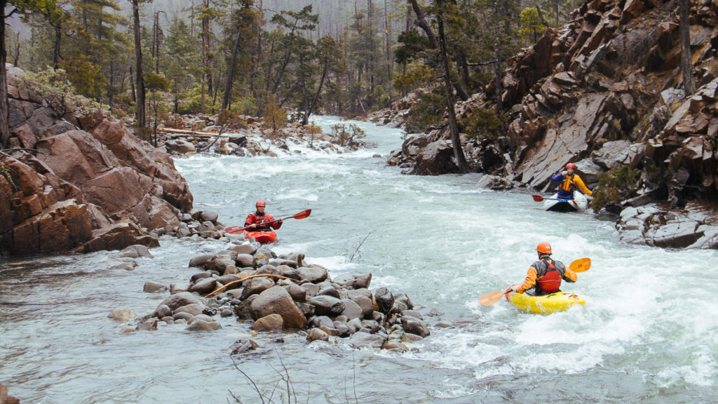
Flowing through the fascinating serpentine geology of the Klamath Mountains, it’s hard to believe these rugged one-of-a-kind creeks are in Oregon—they look like a desert canyon even though the region can get 160 inches of precipitation each year. The serpentinite and peridotite geology has a high surface rock content and the mineral imbalance of the soil creates sparse, stunted trees and shrubs. As a result, these rivers and creeks rise quickly after rain events and drop quickly after precipitation stops. Minimal sediment, even during flood events, makes for a beautiful clear-water experience.
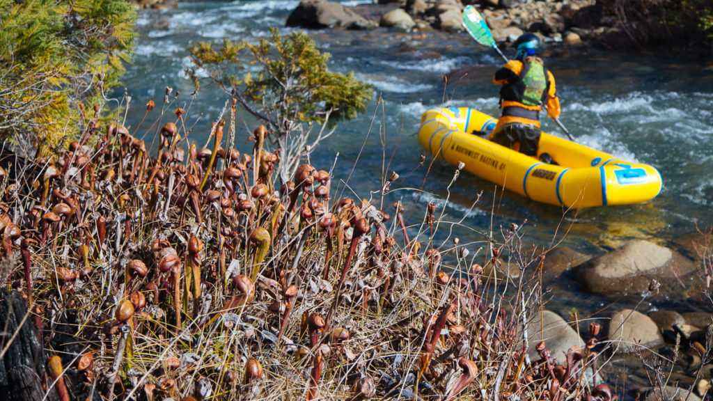
The lack of nutrients in the soil leads to less vegetation but due to adaptations, there is incredible quality and diversity of plant life—including Port Orford Cedar and carnivorous plants that make a strange contrast with the desert scenery!
Rough and Ready Creek
Rough and Ready Creek begins on the south rim of the Kalmiopsis Wilderness and flows through the South Kalmiopsis and into the West Fork of the Illinois River. Known for its water quality, this remote creek is home to the most rare and endangered plants in Oregon—including the carnivorous Darlingtonia Californica (pitcher plant), rare willows, lilies, and orchids.
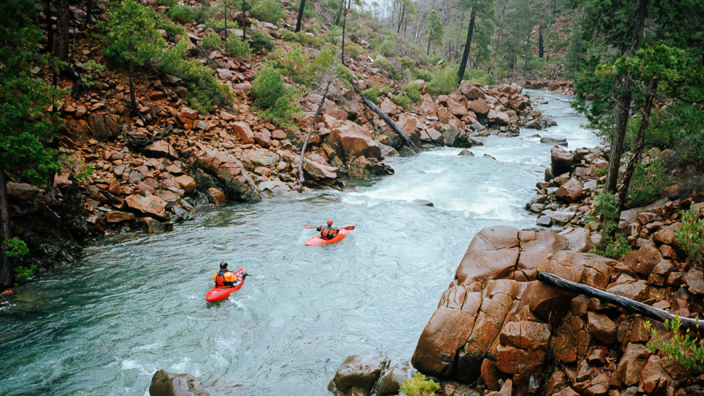
This watershed is one of the few with no infestation of the devastating Port Orford Cedar Root Disease.
West Fork of the Illinois River
The West Fork of the Illinois River is generally paralleled by Lone Mountain Road (NF-4402) and can be paddled along most of its length.
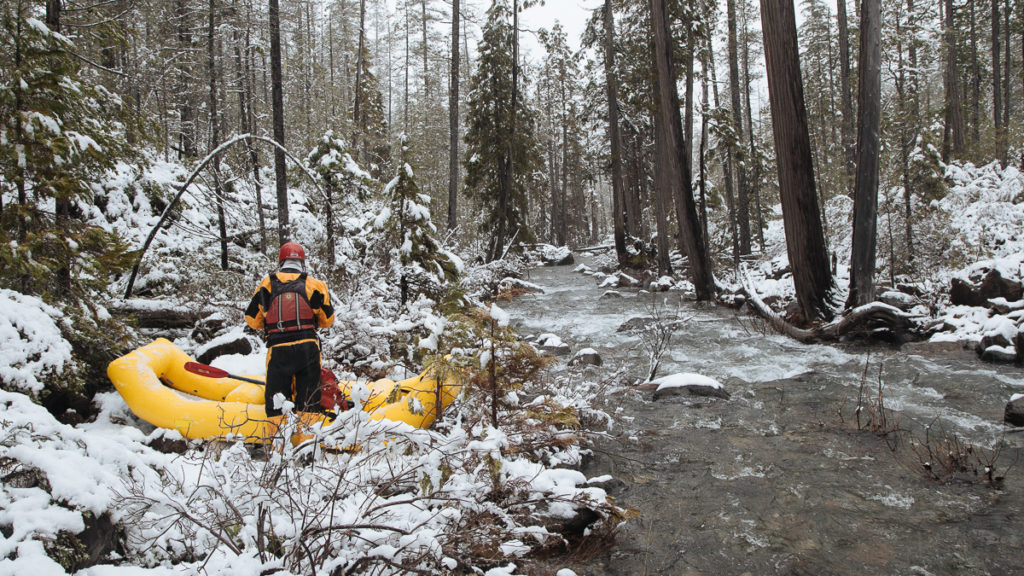
Like its tributary, Rough and Ready Creek, this stream is famous for its botany and water quality. Some of the biggest Darlingtonia wetlands are found along its course. The West Fork Illinois below Whisky Creek is unfortunately infested with Port Orford cedar root disease making it important to throughly wash boats, gear and vehicles after paddling the West Fork of the Illinois if you are going to paddle uninfected streams like Rough and Ready Creek, Baldface Creek, Upper Josephine Creek and Canyon Creek.
Josephine Creek
This remote creek joins the Illinois River near Eight Dollar Mountain, about five miles downstream from the town of Kerby. It was on this creek that the discovery of gold in 1851 kicked off the gold rush to Southern Oregon, and much of the riverbed and riparian corridor has been altered by hydraulic mining. The old mine workings can still be made out in the gullies on the hillsides, like ghosts in the landscape
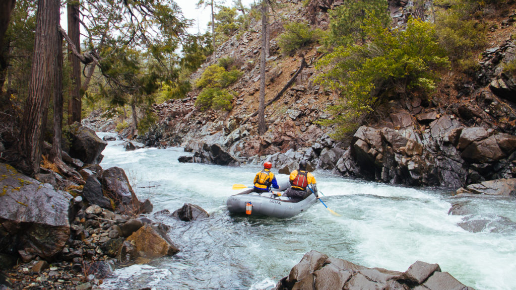
The lower section of the creek can be enjoyed by visiting campgrounds near its confluence with the Illinois River. In the summer, Josephine Creek provides 17% of the flow to the Wild and Scenic Illinois River.
In order to really get to know the upper reaches of Josephine Creek, you’ll need a solid 4wd vehicle to get over the steep and challenging Free and Easy Pass. These areas are dotted with active mining claims as well as rare Darlingtonia marshlands. There are great opportunities for whitewater paddling the entire length of this creek.
Canyon Creek
Canyon Creek is a remote and unknown tributary of Josephine Creek. Like the other waterways of the South Kalmiopsis, it’s a stronghold for rare plants and its distance from settlements gives it a wilderness character. In addition, Canyon Creek provides some of the best salmon habitat in the Illinois River watershed.
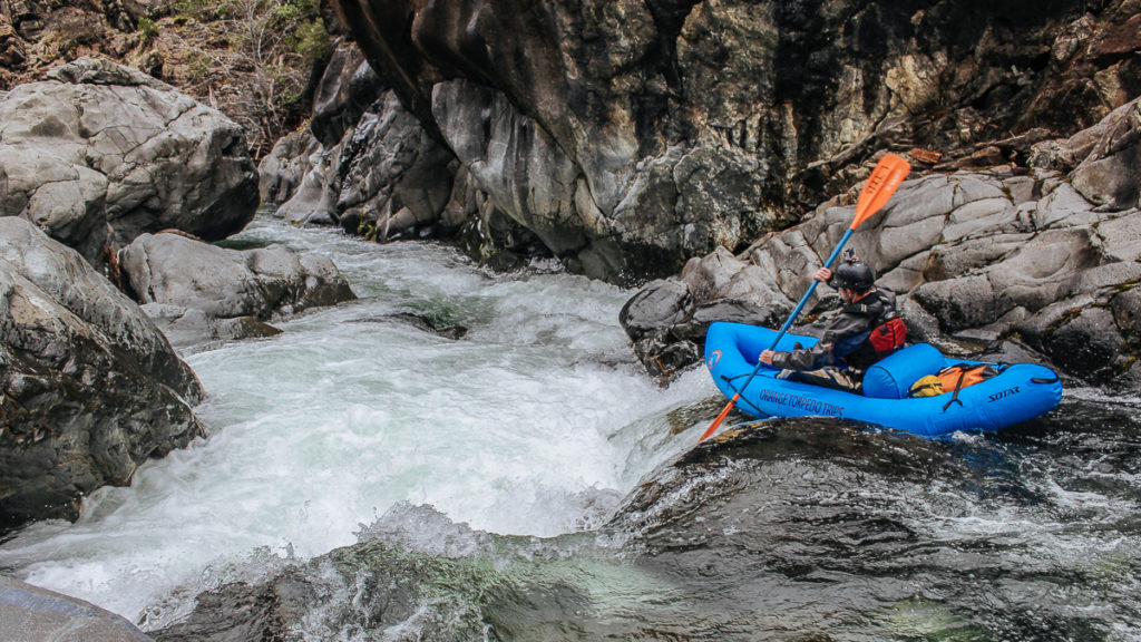
In 1851 the town of Sebastopol was established along Canyon Creek and was the first large town in Southern Oregon with a population of 2,000, a saloon, and two stores. It was abandoned five months after it was established.
Baldface Creek
In 2017, along with the North Fork of the Smith River, Baldface Creek was designated as Outstanding Resource Waters under the Clean Water Act. This creek and its tributaries are pristine and provide key habitat for Chinook salmon, coho salmon, steelhead, and cutthroat trout.
“Baldface Creek provides some of the best water quality and fisheries habitat known on the Siskiyou National Forest.”—USFS Wild and Scenic Eligibility Study.
The first four creeks mentioned above are in the Illinois River watershed, while Baldface Creek is in the Smith River watershed. Its headwaters are just west of Rough and Ready Creek and from there, Baldface Creek flows west into the famous North Fork of the Smith River.
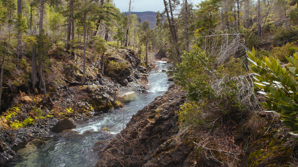
Like Rough and Ready Creek, the Baldface Creek watershed provides habitat for rare and endangered plants including healthy Port Orford cedar. Dropping into the sparkling waters of this remote creek is the reward after a rigorous 5-mile hike to the put-in.


